Environmental Monitoring · Water Intelligence · 3D Visualization
RIVER
GUARDIAN
Live Watershed Telemetry
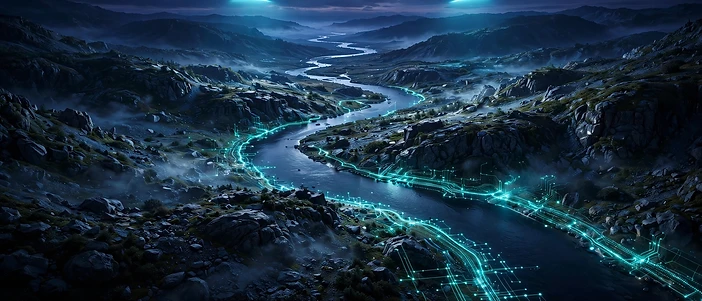
An interactive 3D watershed monitoring and visualization system that turns live water-quality telemetry into an intuitive, explorable environment.

02 — The Challenge
The Problem
Why watershed intelligence matters

Water pollution is hard to see — and harder to understand. Watershed conditions change constantly, yet the data that describes them is scattered across dashboards that few people can interpret. Pollution events go unnoticed, communities lack an intuitive real-time picture of the water around them, and traditional charts and tables do not convey the living, spatial reality of a river system.
- Water pollution is difficult to detect and communicate.
- Watershed conditions are dynamic and spatially complex.
- Traditional dashboards are hard for non-experts to interpret.
- Real-time, intuitive visualization is largely missing.
03 — The Answer
The Solution
River Guardian

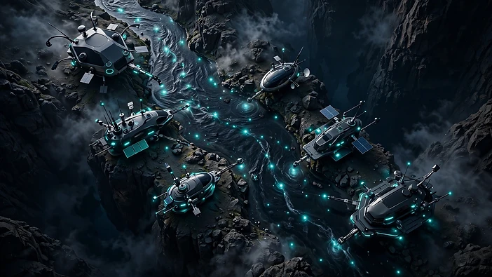
River Guardian is an interactive watershed monitoring and visualization system. It renders a live 3D environment where water-quality telemetry, pollution signals, and monitoring stations are visible in context. Users can explore the watershed, switch between camera and view modes, and read environmental zones at a glance instead of parsing spreadsheets.
04 — Pipeline
How It Works
From source to visualization
River Guardian follows the natural path of water through the system, turning raw signals into an explorable picture of watershed health.
05 — Interactive World
The 3D Experience
An explorable watershed
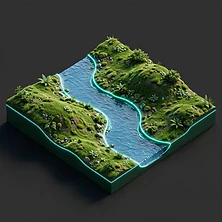
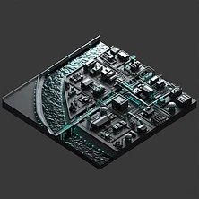
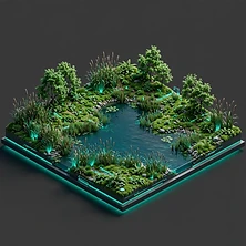
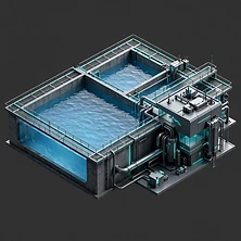
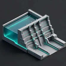
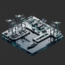
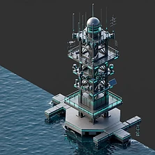
The interactive 3D world lets you move through the watershed and inspect each zone. Every environment — river, city, park, reservoir, dam, port, and monitoring infrastructure — is modeled so telemetry reads in context rather than in isolation.







06 — Systems
Technology & Features
Built for live water intelligence
River Guardian combines real-time data handling with interactive 3D visualization. The specifics of each subsystem are editable below and in the admin content manager.

Technology Stack
Core platform
[Editable placeholder — describe the technology stack: frameworks, languages, and runtime. Update in admin.]
3D / WebGL
Rendering engine
[Editable placeholder — describe the 3D / WebGL technologies used for the interactive environment. Update in admin.]
Interactive Systems
Camera & controls
[Editable placeholder — describe the interactive systems: camera modes, view modes, user controls. Update in admin.]
Visualization Systems
Data to scene
[Editable placeholder — describe how telemetry is mapped to visual elements in the 3D scene. Update in admin.]
Monitoring Systems
Telemetry ingestion
[Editable placeholder — describe the monitoring stations and how water-quality telemetry is ingested. Update in admin.]
07 — Connect
Demo & Links
See it in action
River Guardian is built to be explored. Use the links below to try the live project, watch the demo, or read the source. Scan a QR code or click through to continue.
River Guardian — protecting watersheds through living telemetry.